
 English
 Español
 Deutsch
 Français
 Italiano
 Português
 Русский
 Türkçe
 العربية
 简体中文
简体中文 日本語
日本語 한국어
한국어 Tiếng Việt
 Bahasa
Territories
Import GeoJSON/Shape Files
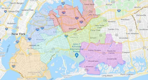
Import geo-shape files as one or multiple territories, and their properties into territory data fields.
Related Territories Features
All features-
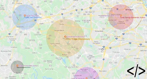 Automation: Manage TerritoriesCreate, update, and remove territories, and update their data fields and geography using automation.
 -
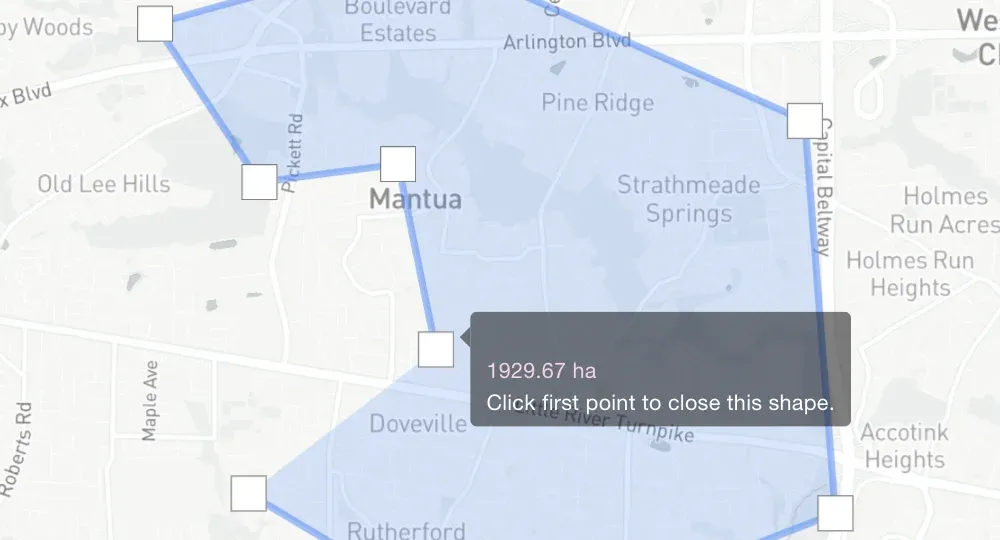 Measure Area and Perimeter of ShapesCalculate the area and perimeter of your hand-drawn territories.
 -
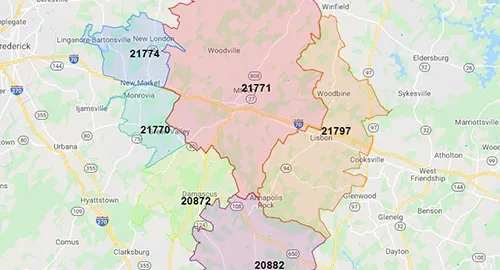 View Demographic DataView 50,000+ demographic metrics (like population and poverty) for zip codes, counties, and census areas.
 -
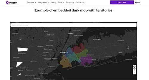 Embed Territory MapsEmbed your territory maps shared by link into websites, portals, and dashboards, or send them by email.
 - Mass-Generate TerritoriesCreate multiple territories at once by selecting geo-library areas, like zip codes.
- Import KML/KMZImport KML/KMZ files as one or multiple territories, with or without KML points, lines, popups, and more.
Ready to Get Started?
Start a free 14-day trial of the full platform, or let a solution engineer build a proof of concept for your team.
No credit card required · Chat with sales