
 English
 Español
 Deutsch
 Français
 Italiano
 Português
 Русский
 Türkçe
 العربية
 简体中文
简体中文 日本語
日本語 한국어
한국어 Tiếng Việt
 Bahasa
Capture User's Current Location
When a user clicks a custom button, their current location is available for use in actions. Using this feature, you can, for example, implement custom check-in/check-out processes.
Automation + Custom Apps
Automate processes around the map with point-and-click tools: buttons, forms, workflows, and schedules that work across Mapsly, your CRM, and any other system.
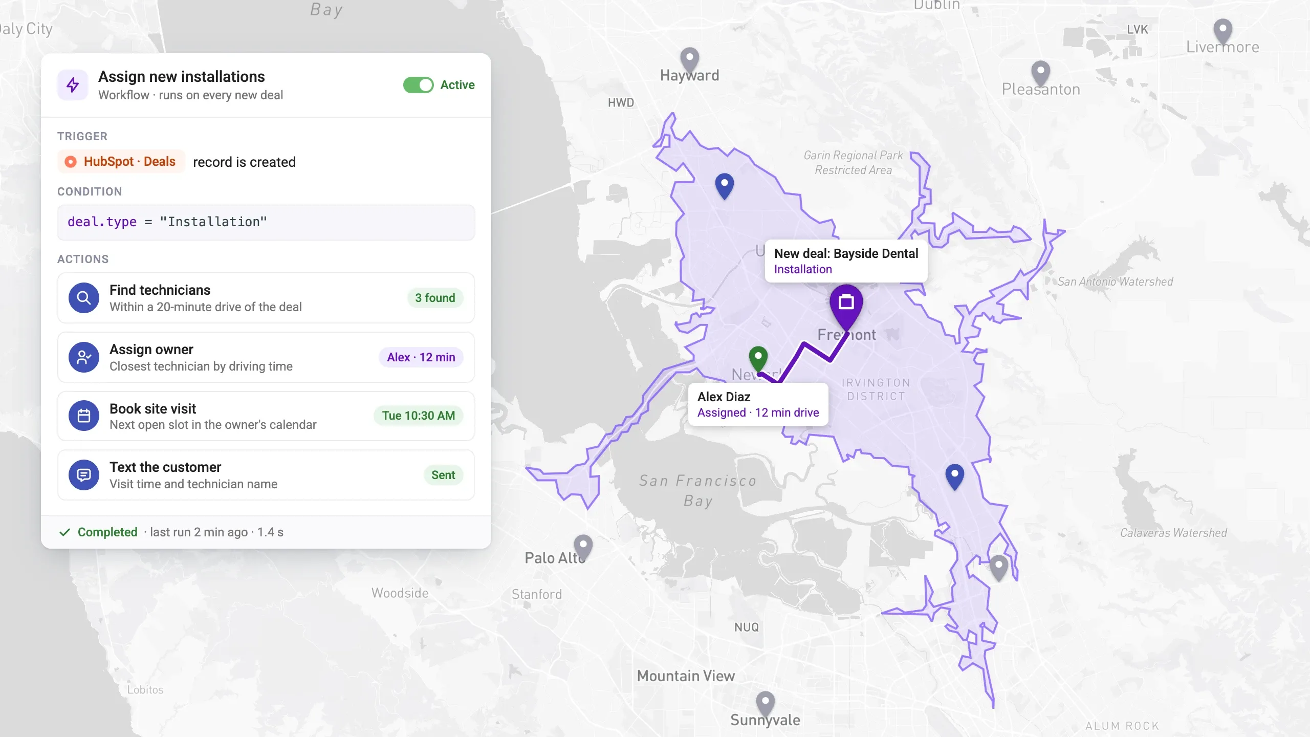
From rule to result
When point-and-click isn’t enough, add a short code insert in an easy template language. It runs inside Mapsly, so there’s nothing to host or maintain.
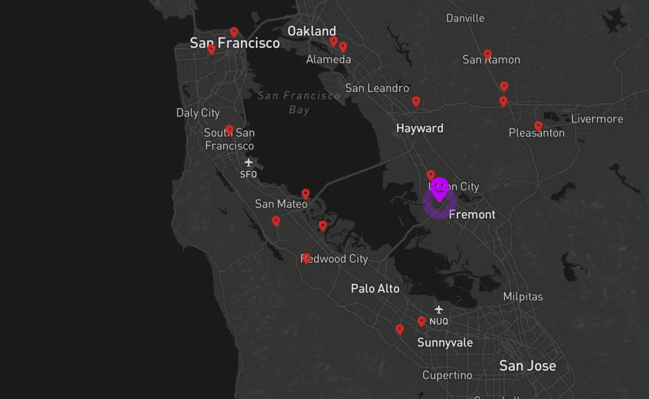
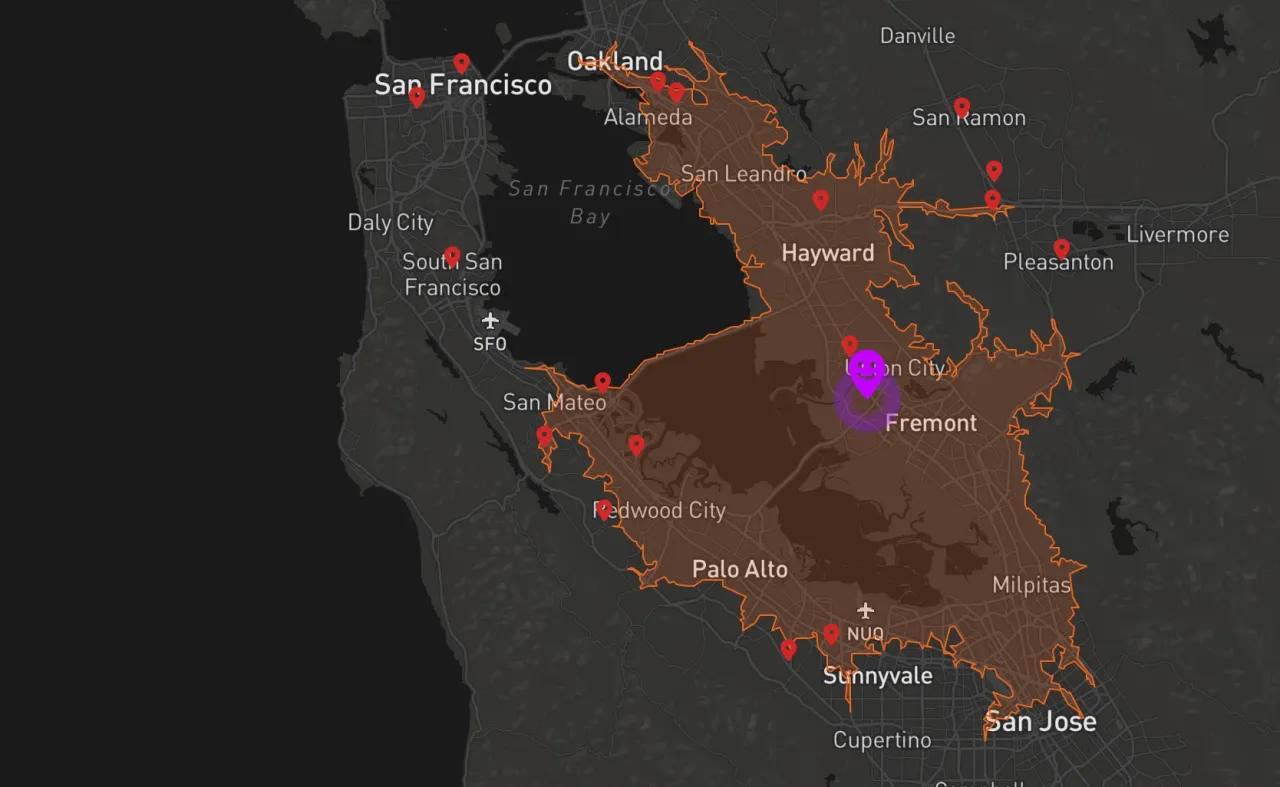
Applications
A few examples, each running automatically with the result saved to your CRM in real time.
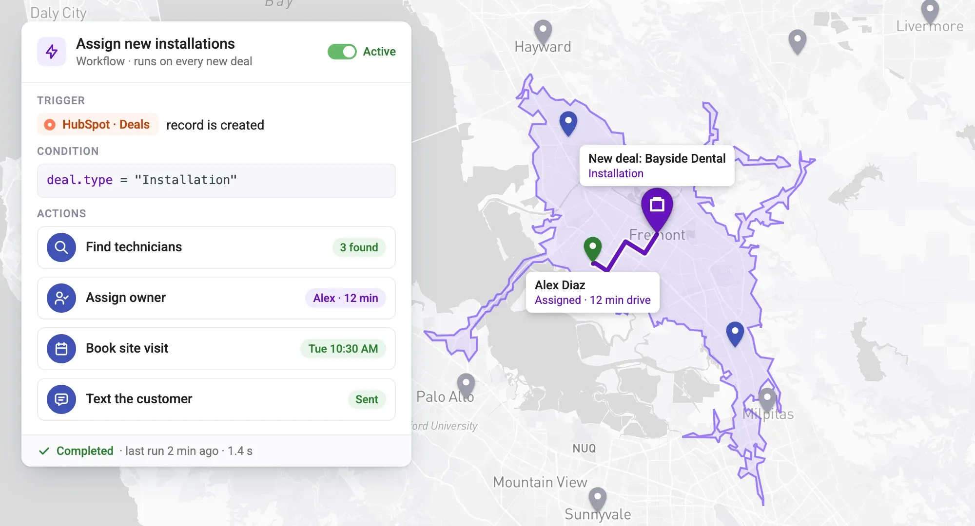
For a new lead, calculate the driving distance and time to the lead from it to your office
For a new patient, find the 3 clinics that offer all services requested by the patient, closest to the patient by driving time but not further away than 20 minutes drive, and for each of the found clinics, calculate the price of transportation based on the driving distance to the clinic and the cost-per-mile set by the clinic
For a new real estate property, create a Contact list in the CRM with all Contacts within a 50-mile radius who don’t yet own a property in this radius
Let your sales reps check into a stop and log notes and pictures of the location to the CRM while verifying the sales reps’ location (checking if the sales rep is actually at the location when checking in, and mark the check-in event as Unverified if they’re not)
Add the selected record to a CRM’s new or existing contact list or campaign
Tell us your process. Mapsly engineers build it for you, included in your subscription.
Book a demoHow it works
You may also make the execution of various actions contingent on conditions that will be evaluated at the time of execution (“at runtime”).
Building blocks
When a user clicks a custom button, their current location is available for use in actions. Using this feature, you can, for example, implement custom check-in/check-out processes.
A button can be added to the map right-click menu. When such a button is pressed, the right-clicked map location is also available for use in actions that follow.
Using Mapsly’s form builder, you can create various forms and use them to gather data from users before executing actions. Inside a form, you may add nested actions that will be executed when a button is clicked or a picklist’s current value changes.
Apart from any of the actions listed above, form event handlers can show/hide other form fields or change their content and currently selected items, so you can implement dynamic forms that change their appearance and content in real time in response to user actions.
In particular, Mapsly’s check-in/check-out feature is built entirely with the Automation Platform.
In Mapsly, you can easily calculate both direct and driving distance, as well as driving time between any locations, and use them in your automation or saved to records.
For example, for every new lead Mapsly can automatically calculate a quote for delivery to the lead from the best warehouse based on the driving distance for every warehouse in the area and their cost-per-mile.
A button can be placed into context menus for an object, like Account, so when the button is clicked, the fields of this object are available for use in the forms and actions that follow.
You may also place a button into the Table view for an object and make it available when multiple records are selected at once. When such a button is pressed, selected records, or all records in the table, become available for use in actions and forms.
When executing actions for multiple records at once, like when:
Use the template engine to construct a single text value out of the record set data.
When necessary, in your templates, you may also:
Actions within a single execution session are working in the same Execution context – a global space of variables – so they can pass one another various data, declare and re-use variables, which can be used to implement more sophisticated scenarios that cannot be addressed by just point-and-click tools.
You can create a territory with custom geometry and data field values using the Automation Platform. For example, it can be a circular territory around each of your accounts, with the radius from the account record representing its service area. You may also use automation to programmatically update the territory’s data fields, geometry, name, and color, as well as remove the territory.
Just like any territories created manually, programmatically created territories can also be automatically assigned to records of any object and can be automatically colorized based on their metric values.
Show us how your team works today. Mapsly engineers build the automation for you, included in your subscription.
No credit card required · Chat with sales