
 English
 Español
 Deutsch
 Français
 Italiano
 Português
 Русский
 Türkçe
 العربية
 简体中文
简体中文 日本語
日本語 한국어
한국어 Tiếng Việt
 Bahasa
Territories
Draw Territories on Map
Create territories by drawing one or multiple polygons, circles, or rectangles on the map.
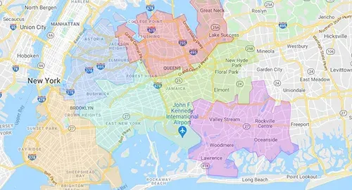
Related Territories Features
All features-
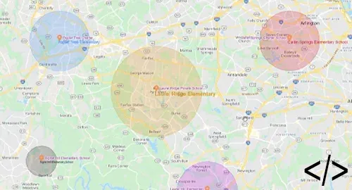 Automation: Manage TerritoriesCreate, update, and remove territories, and update their data fields and geography using automation.
 -
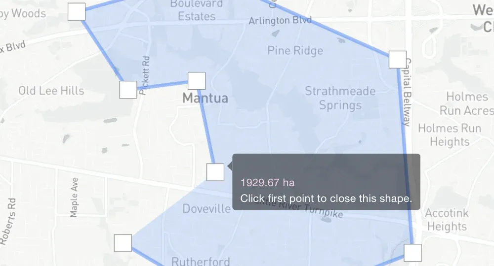 Measure Area and Perimeter of ShapesCalculate the area and perimeter of your hand-drawn territories.
 -
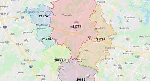 View Demographic DataView 50,000+ demographic metrics (like population and poverty) for zip codes, counties, and census areas.
 -
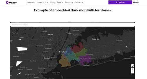 Embed Territory MapsEmbed your territory maps shared by link into websites, portals, and dashboards, or send them by email.
 - Mass-Generate TerritoriesCreate multiple territories at once by selecting geo-library areas, like zip codes.
- Import KML/KMZImport KML/KMZ files as one or multiple territories, with or without KML points, lines, popups, and more.
Ready to Get Started?
Start a free 14-day trial of the full platform, or let a solution engineer build a proof of concept for your team.
No credit card required · Chat with sales