
 English
 Español
 Deutsch
 Français
 Italiano
 Português
 Русский
 Türkçe
 العربية
 简体中文
简体中文 日本語
日本語 한국어
한국어 Tiếng Việt
 Bahasa
Operations monitoring
Disaster Response Liveboard
Live incident map with wildfire severity filters and built-in response planning tools.
- By Mapsly team
- Certified app
- Pro plan
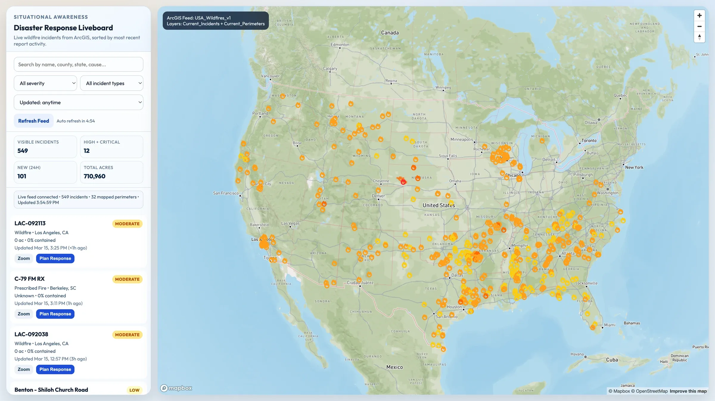
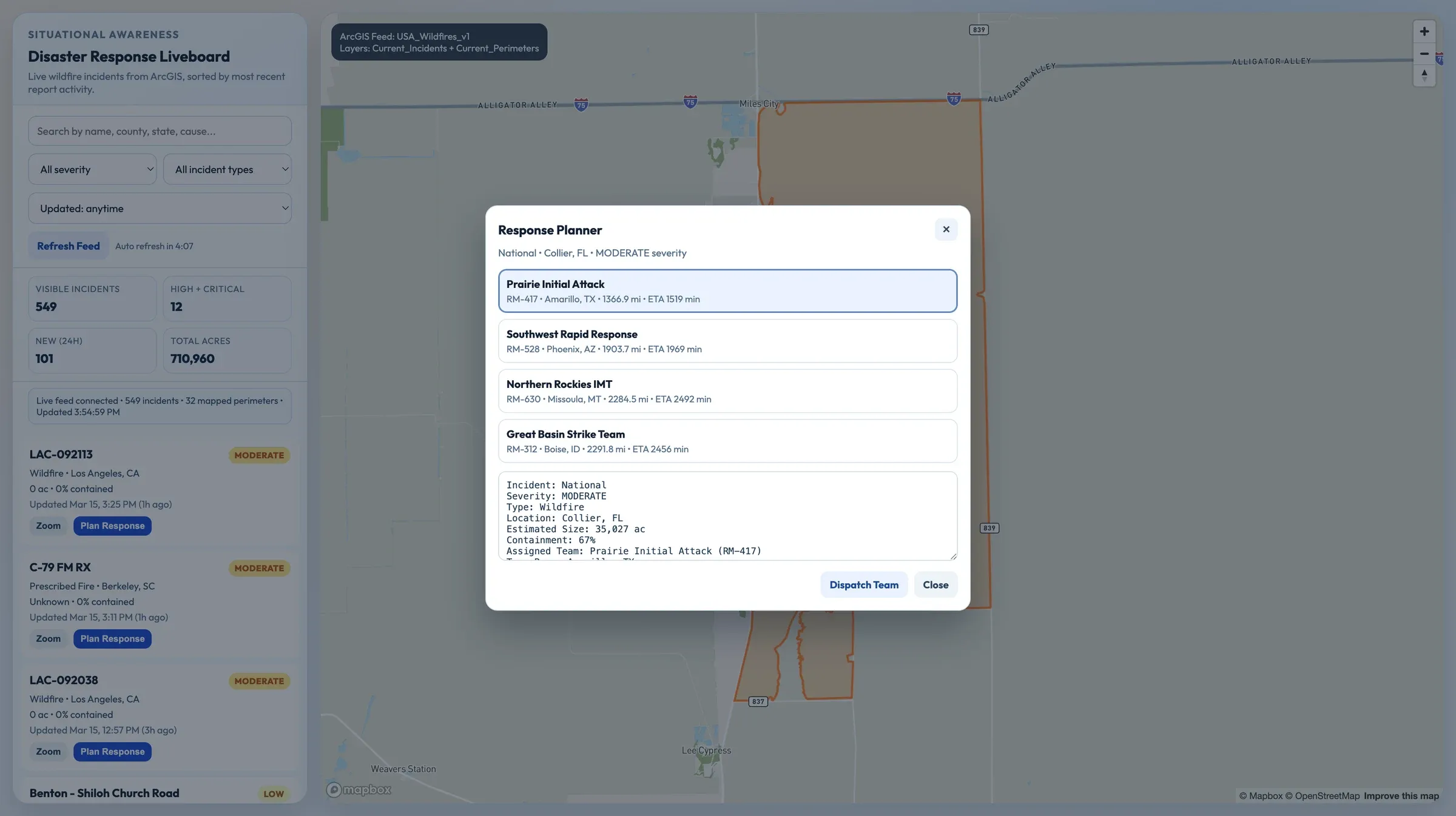
Disaster Response Liveboard pulls live wildfire incidents from ArcGIS, ranks severity, and includes a built-in response planner for dispatching field teams. It is a strong public-safety showcase for live incident awareness.
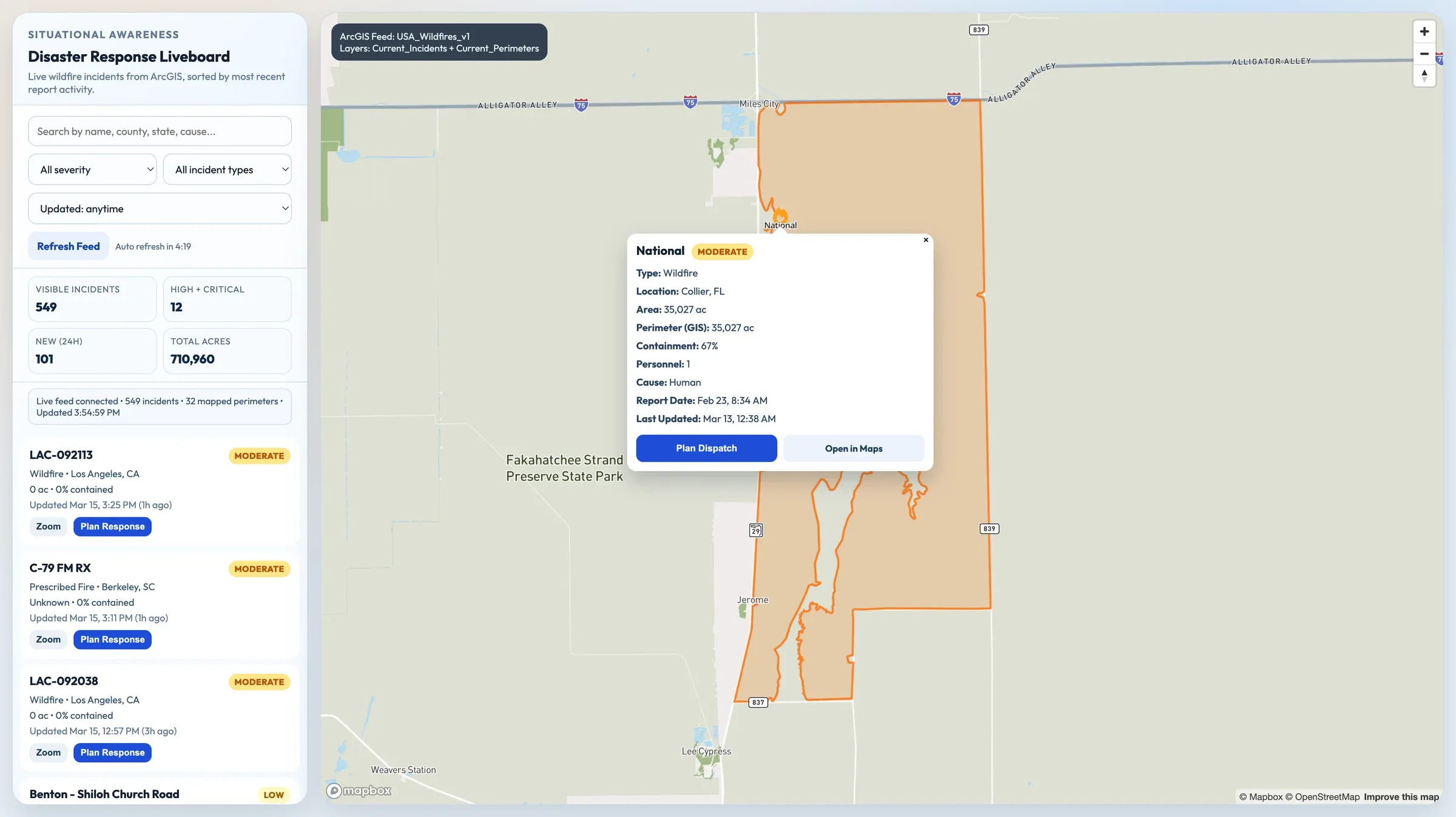
Highlights
- Live ArcGIS wildfire feed drives the incident map in real time
- Severity, incident type, and recency filters keep triage focused
- KPIs summarize visible incidents, severity, recency, and acreage
- Response planner connects each incident to a dispatch decision flow
Key Benefits
- Live situational awareness
- Faster incident triage
- Integrated response planning
- Strong public-safety use case
More Apps
Browse all apps-
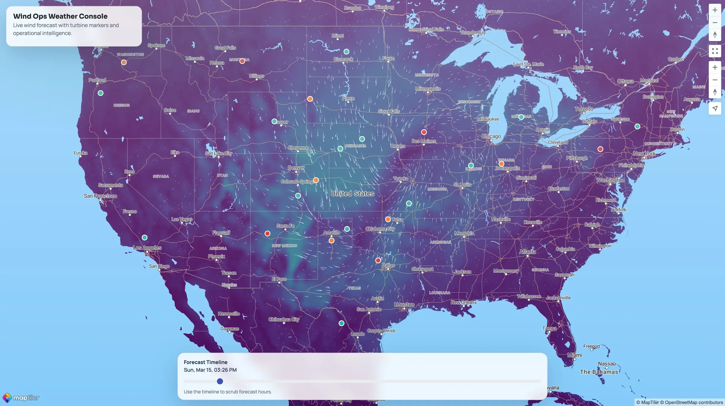 Operations monitoringWeather MapOperational weather map for wind-sensitive assets with forecast visibility and turbine status.
 -
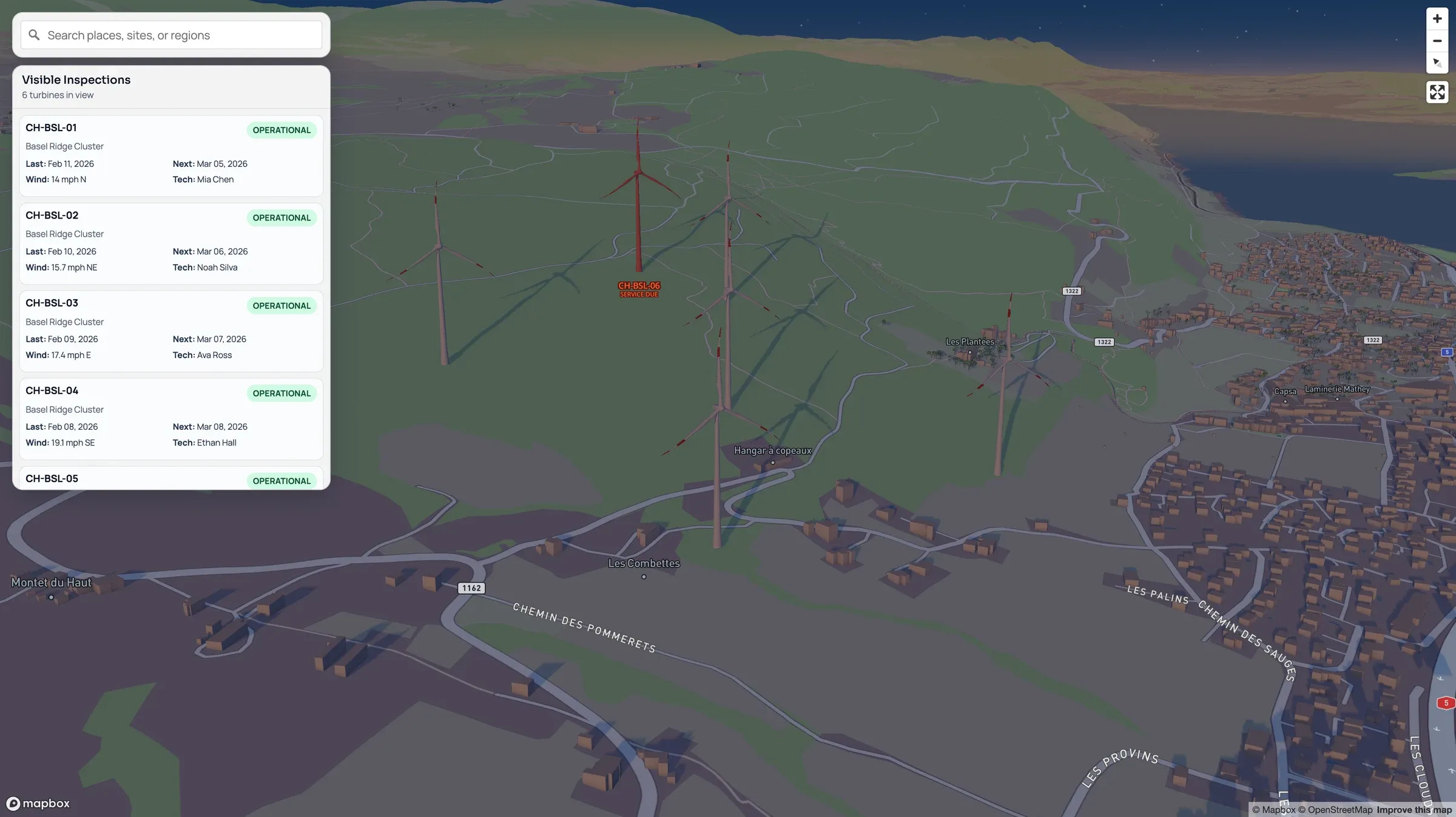 Operations monitoringWind Inspection AppWind turbine inspection app with status mapping, field forms, and compliance capture.
 -
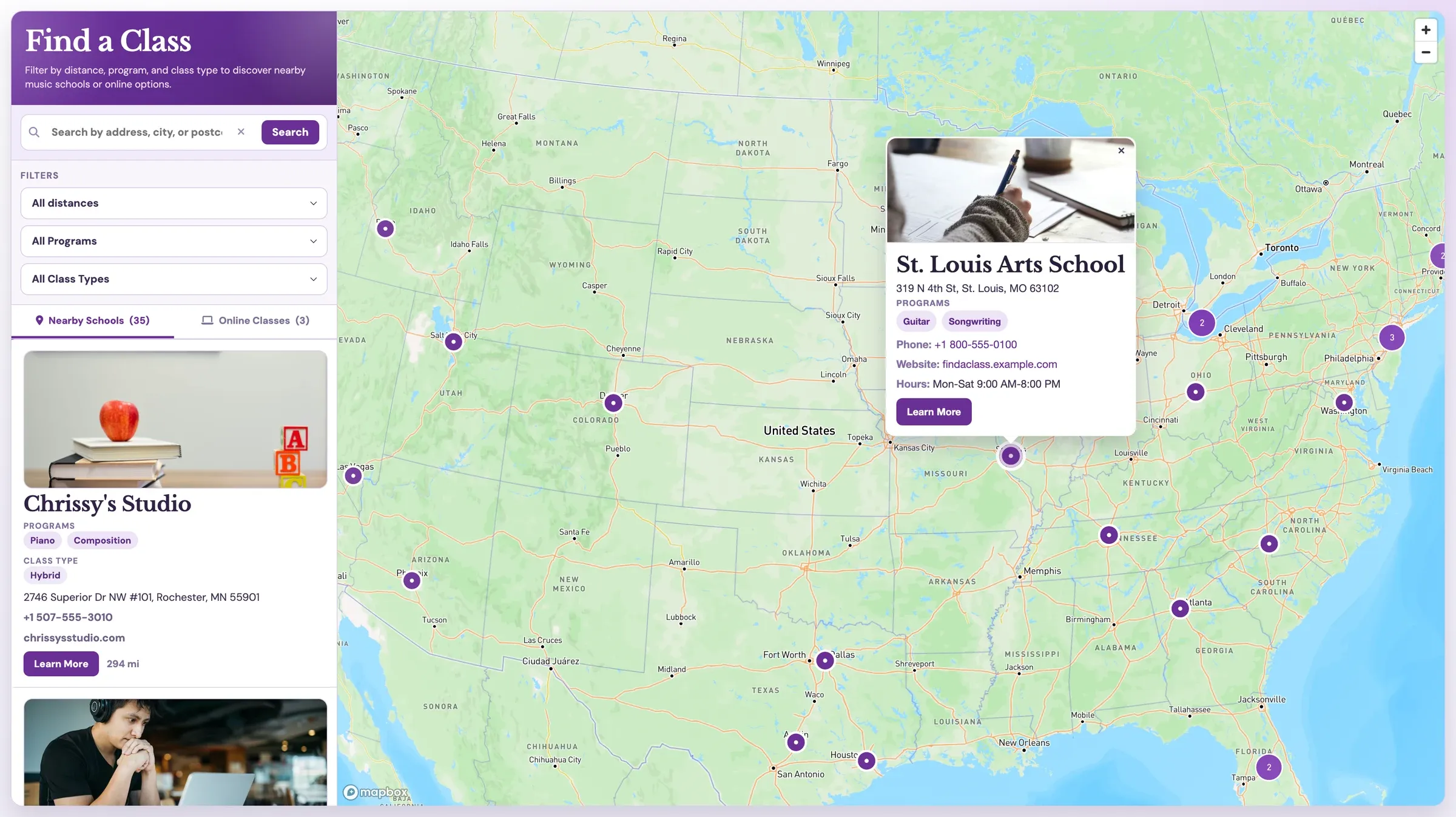 Store locatorClass LocatorClass locator for music schools and online programs with distance and format filters.
Need an App Built for Your Team?
Mapsly engineers build custom maps, widgets, and tools on top of your CRM data, included in your subscription.
No credit card required · Chat with sales